// Spatial Intelligence & 3D Building Collaboration Platform //

Technology:
Skill :
Industry :
About
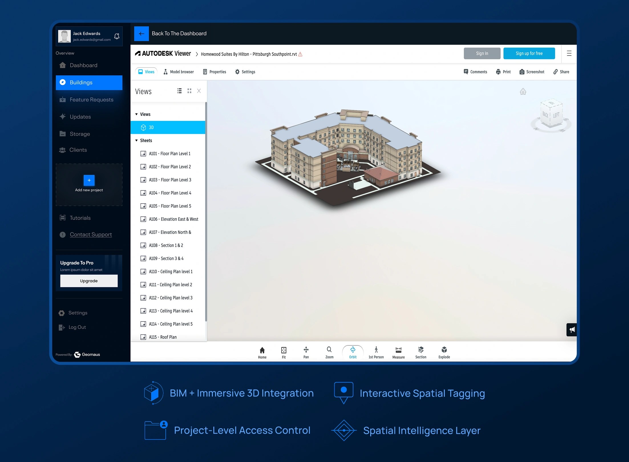
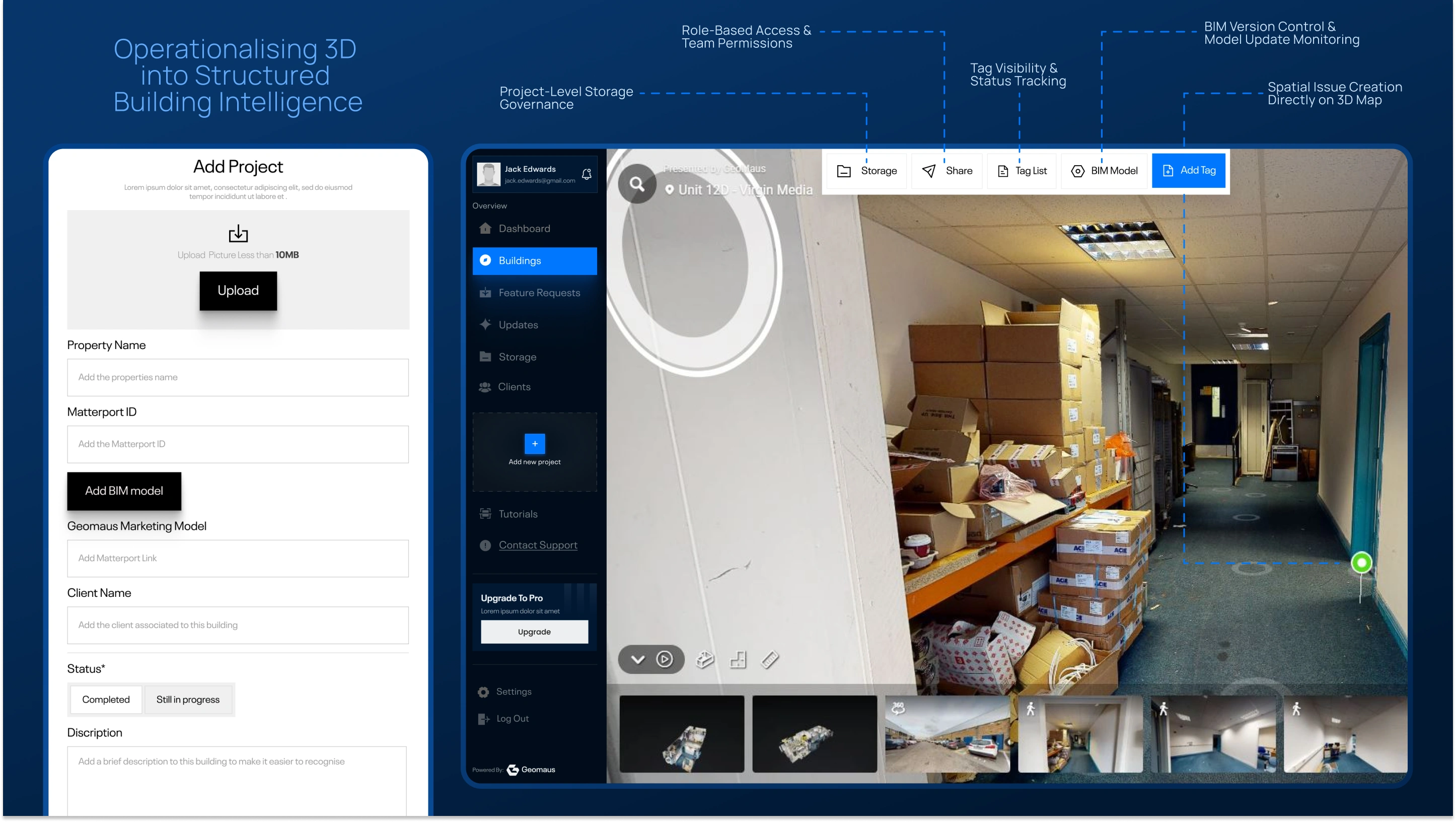
GeoMaus provides professional 3D building mapping services for construction, property, and infrastructure stakeholders. To operationalise immersive spatial captures and BIM models, the company required a scalable SaaS platform that transforms 3D scans into collaborative, data-rich digital environments. By integrating enterprise-grade spatial engines such as Matterport for immersive walkthroughs and Autodesk Viewer for BIM visualisation, the system establishes a unified building intelligence layer. The platform supports project-based management, role-based access control, spatial tagging, structured document storage, and subscription-based billing — converting raw 3D models into interactive, decision-ready operational environments.
Buildings Page
Lorem Ipsum is simply dummy text of the printing and typesetting industry. Lorem Ipsum has been the industry's standard dummy text ever since the 1500s, when an unknown printer took a galley of type and scrambled it to make a type specimen book. It has survived not only five centuries, but also the leap into electronic typesetting, remaining essentially unchanged.
Show Case page
Lorem Ipsum is simply dummy text of the printing and typesetting industry. Lorem Ipsum has been the industry's standard dummy text ever since the 1500s, when an unknown printer took a galley of type and scrambled it to make a type specimen book. It has survived not only five centuries, but also the leap into electronic typesetting, remaining essentially unchanged.
Show Case Studies Page
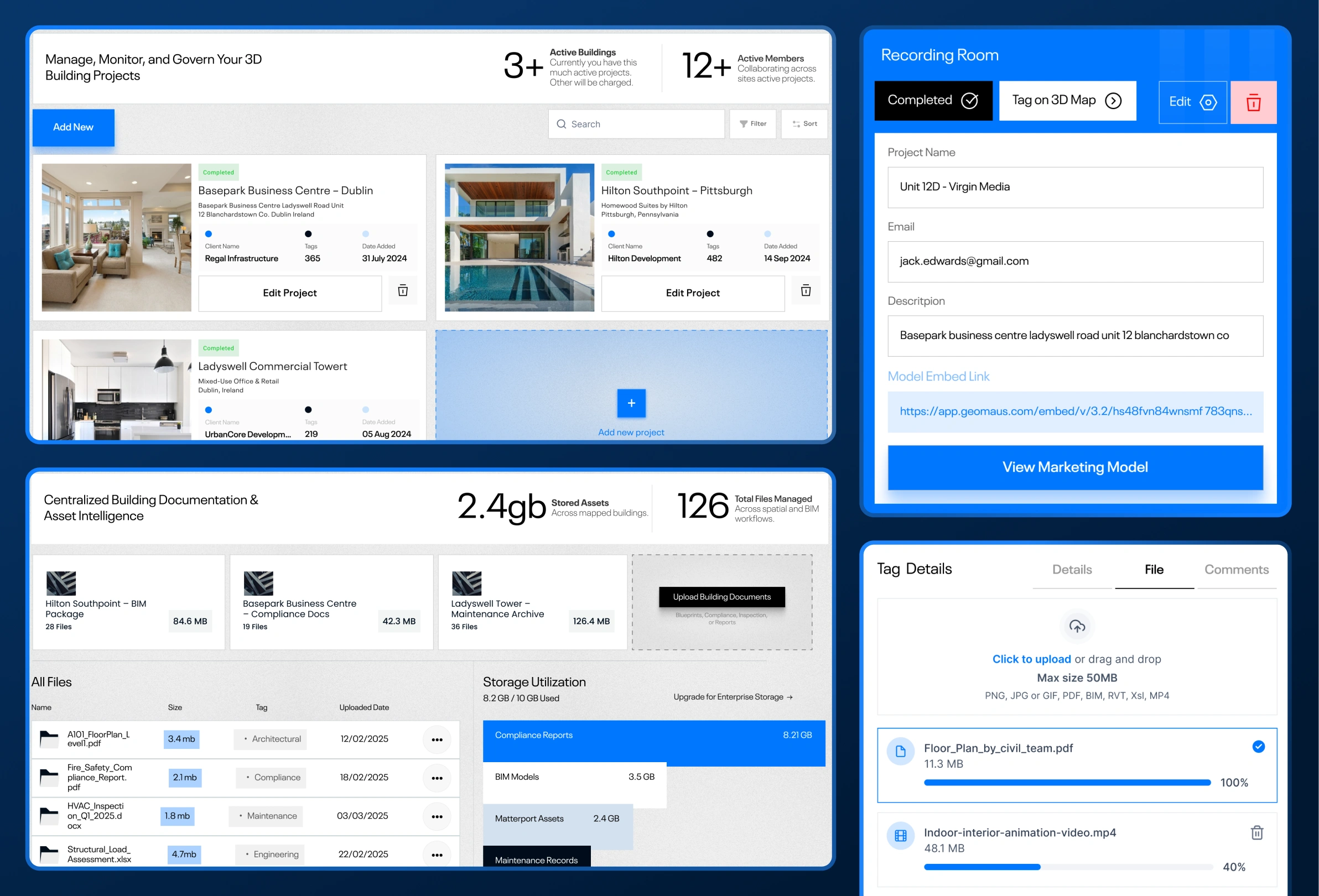
3D scans and BIM models are powerful — but fragmented. Matterport handles immersive capture. Autodesk renders BIM files. Teams still rely on disconnected tools for communication, documentation, and user access control. There was no centralized system to manage buildings as interactive, data-driven workspaces. We engineered a scalable, subscription-based SaaS platform that integrates enterprise-grade spatial engines into a structured building intelligence layer. The system supports project-based access control, spatial tagging, file management, issue tracking, analytics dashboards, and billing logic — transforming static 3D assets into operational infrastructure.

UpViral is a cloud-based viral referral platform that enables businesses to launch and scale incentive-driven growth campaigns. Through structured referral mechanics, customizable rewards, and integrated analytics, it transforms traditional lead generation into share-driven growth loops. With drag-and-drop campaign building, automated tracking, and performance dashboards, UpViral helps digital businesses grow audiences without heavy reliance on paid acquisition.





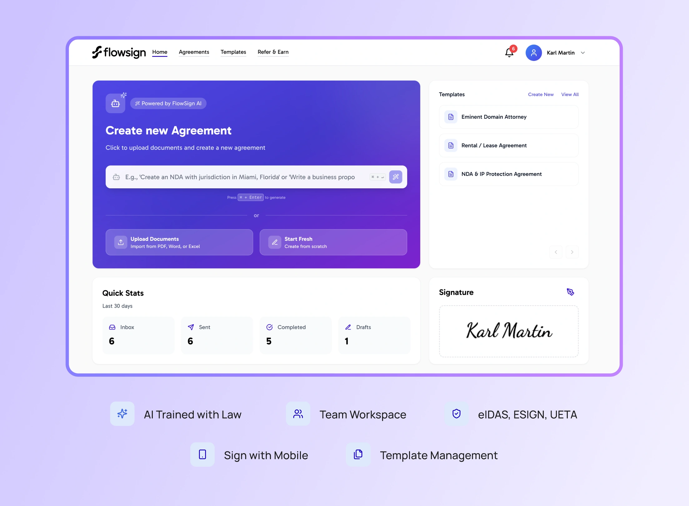
FlowSign is an AI-powered digital agreement and eSignature platform designed to help businesses create, sign, and manage legally binding contracts with speed and confidence. Combining secure cloud-based signature workflows with AI-assisted contract drafting, FlowSign enables teams to automate document creation, streamline approvals, and maintain compliance with standards such as eIDAS, ESIGN, and UETA. Built for modern businesses, it replaces fragmented manual contract processes with a centralized, intelligent agreement infrastructure.